
Hiking trails
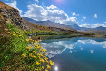
High-altitude lakes, glaciers and icebergs
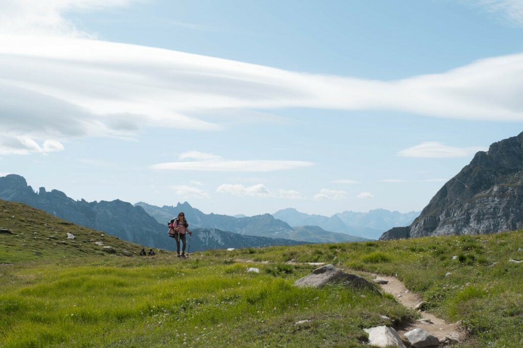
Landscapes from the end of the world in the heart of the AlpsContemplate the high-altitude lakes along the balcony path to the Carro refuge, admire the glaciers overlooking the paths, enjoy the incredible panorama at the Cirque des Evettes and continue to the Grand Méan glacier. You will be breathless, not from the climb but from the spectacle of this glacier which ends in a cliff that plunges into a lake where icebergs float... A hike worthy of the great expeditions at the end of the world. Ibex are also often present in summer in this area. Guaranteed unforgettable memories!
Hikes at 3000m and marmot walks
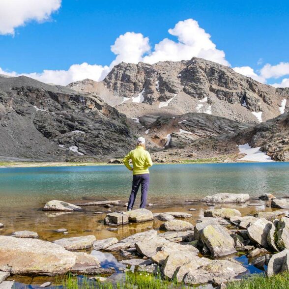
Amazement just a few minutes' walk awayIn Bonneval sur Arc, you can also easily reach the “3,000” mark. In the Iseran and Vanoise National Park areas, several hikes that require no special equipment (starting in mid-July, once the snowfields have melted) allow you to reach an altitude of 3,000 meters very quickly.
Discover the “3,000” hikes in Haute Maurienne Vanoise.
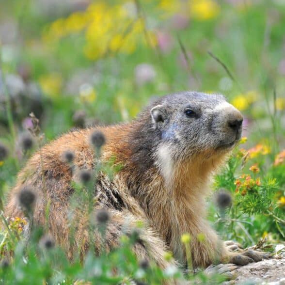
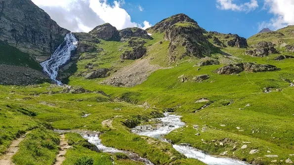
To enjoy them to the fullest and in complete safety, let our mountain professionals guide you as you set out to explore a legendary village and valley with magnificent landscapes. In Bonneval sur Arc, you’ll also be treated to breathtaking views just a few minutes’ walk away: marmots, alpine pastures, mountain streams, and hamlets that seem frozen in time… Don’t wait any longer—let us be your partners in your most beautiful getaways…
- Easy-Green (1)
- Moderate-Blue (8)
- Fairly difficult-Yellow (2)
- Hard-Red (9)
- Very Hard - Black (4)
-
681Validate
-
Bonneval-sur-Arc
 hiking
2-day hike to the Carro refuge – Stag…
- Distance 10.8 km
- Daily duration 02:30
- Elevation gain 5 m
- Elevation loss 969 m
-
Bonneval-sur-Arc
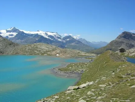 hiking
Tour de Mean Martin – 5-day hike
- Distance 81 km
- Duration of hike 5 days
- Elevation gain 3,317 m
- Elevation loss 3,315 m
-
Termignon
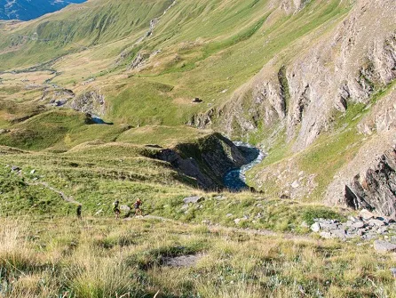 hiking
Méan Martin 3-Day Hike – Stage 2 – Fr…
- Distance 9km
- Daily duration 4:00 a.m.
- Elevation gain 600m
- Negative elevation gain 415m
-
Bonneval-sur-Arc
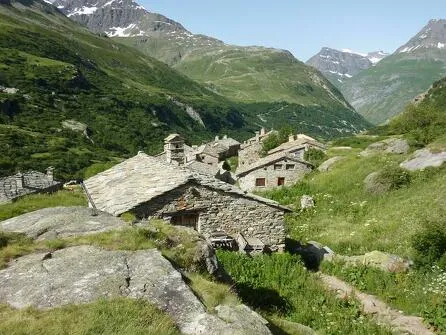 hiking
5-day Méan Martin walking tour – Group…
- Distance 11 km
- Daily duration 3:00 a.m.
- Elevation loss 967 m
-
Bonneval-sur-Arc
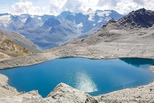 hiking
The 3-day Méan Martin hike – Stage 3…
- Distance 10km
- Daily duration 4:00 a.m.
- Positive elevation gain 426m
- Negative elevation gain 1151m
-
Bonneval-sur-Arc
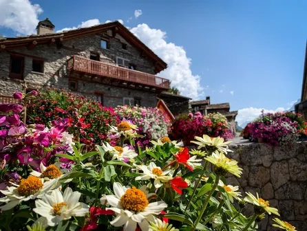 Equipment
The Path to Little Happiness on Foot, f…
-
Bonneval-sur-Arc
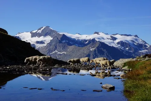 hiking
Walking loop from the Carro balcony t…
- Distance 22.2km
- Daily duration 8:00 a.m.
- Elevation gain 570m
- Negative elevation gain 570m
-
Bonneval-sur-Arc
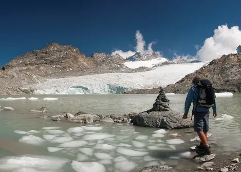 hiking
Evettes Refuge and Grand Méan Lake -…
- Distance 14km
- Duration of hike 2 days
- Positive elevation gain 1050m
- Negative elevation change 1050m
-
Bonneval-sur-Arc
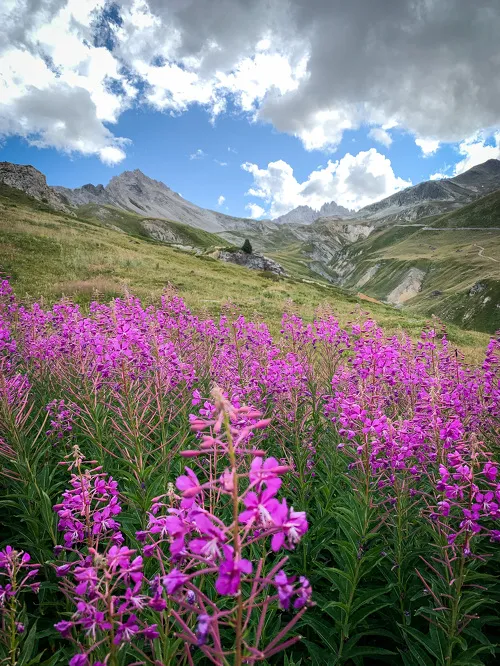 hiking
Duis Hiking Trail
- Distance 6.8km
- Daily duration 02:15
- Positive elevation gain 120m
- Negative elevation change 120m
- 1
- 2
- 3
To go further...
Guide “103 walks and hikes, 38 trail routes”
Discover all the trail and hiking routes in Valfréjus and Haute Maurienne Vanoise with our Guide (easy walks booklet + hiking and trail booklet + map) for sale at the Tourist Office reception desk.
Hiking and Trail Guide – Gentle Escapes (PDF)
Hiking and Trail Guide – High-Altitude Escapes (PDF)
Hiking and Trail Map (PDF)
Brochure: Preparing for your trip in the mountains (PDF)
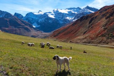
Encountering a Patou (Pyrenean Mountain Dog): what actions should you take?
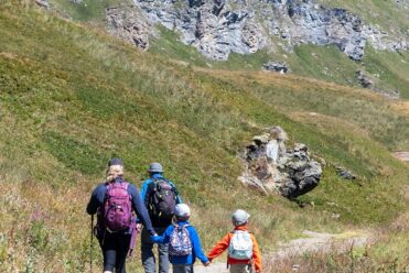
Hiking tours in the heart of the Alps